
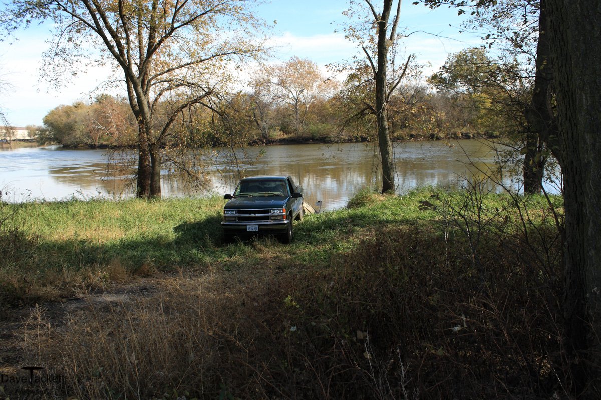
2010 Sludge Dump area was NWSW land.
At one time, from the old speed bowl park to rt 30 bridge was all swamp land. After they built the electric furnaces at the mill, they filled in all the swamp with waste from the furnaces. The area is made of melted steel clumps, slag, brick and dirt. They dredged the river to get gravel for the roads and more landfill.
After the mill went bankrupt, the city of sterling inherited that land. It became a beautiful area with natural prairie and wildlife loved it. For years it was a quiet place that had few visitors. It was being lightly watched, so people could drive through the scenic area.
I tried to get them to make the area a preserve for wildlife and for NWSW mill workers to enjoy, who lost their jobs and pensions when the mill went bankrupt, but the city said it was zoned industrial. That’s too bad because Sterling has abused their riverfront, blocking access through the whole stretch going through and beyond the city limits. This was their chance to have a river front for the people, but they choose not to.
The city recently sold the sludge dump land to a construction company. Now a guy watches the area closely. He rides around on his silent scooter and lets his hunting dog chase all the wildlife away from the river stretch I drift. This was one of my best stretches to drift and I fished there too. Now the guy watching it built a large fishing platform, laid astro turf down and has a fire pit. This river stretch had ducks, hawks, eagles, raccoon, coyote, all kinds of wildlife, but now I rarely see anything except a beaver.
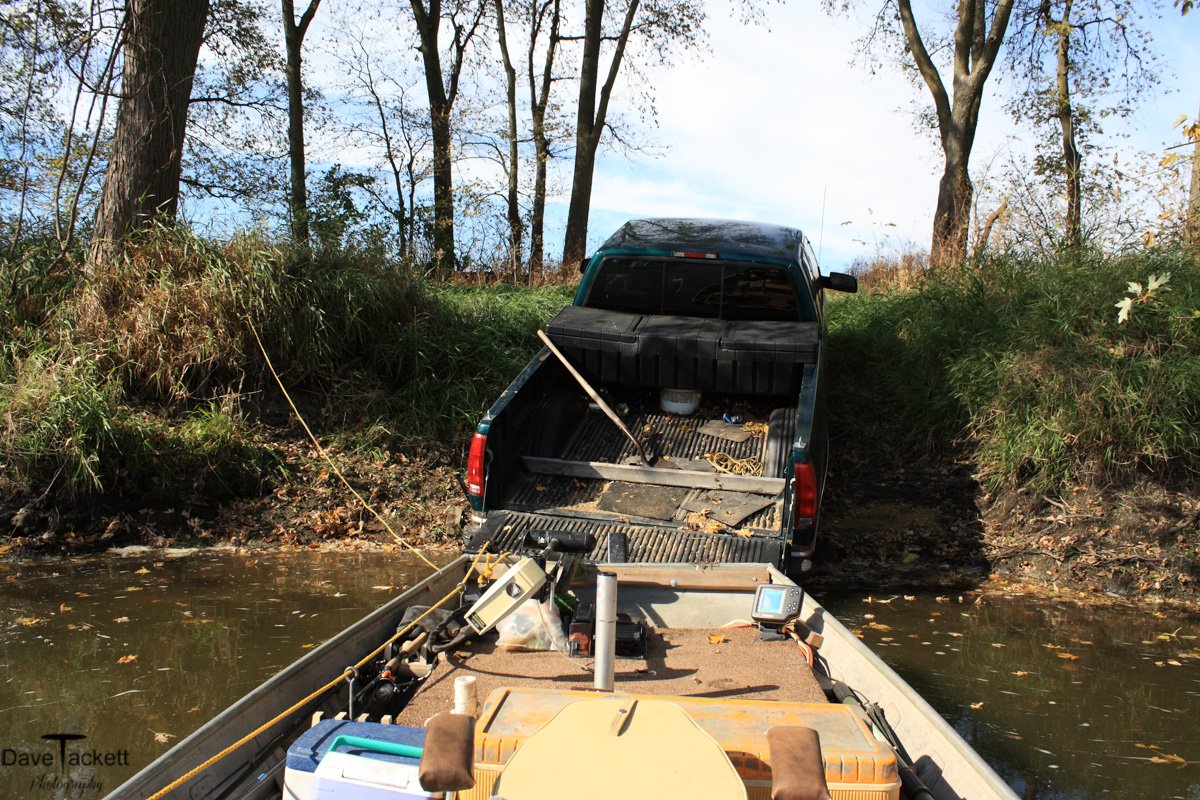
This year I am finding holes in the ramp I use from single wheel spin outs, leaving craters in the ramp as it deteriorates away. Someone dumped a load of concrete on the ramp I use. I don’t know who did that. Luckily I always check the ramp first before I back in.
Now when I drift by, a large dog may shoot out from around the corner, growling and barking as he flies off the river bank into the water going after me, but I am safe in my boat. If anyone goes there, they could get attacked by a vicious dog. I worry my little dog will get attacked at the boat ramp I use.
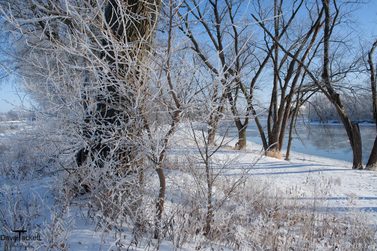
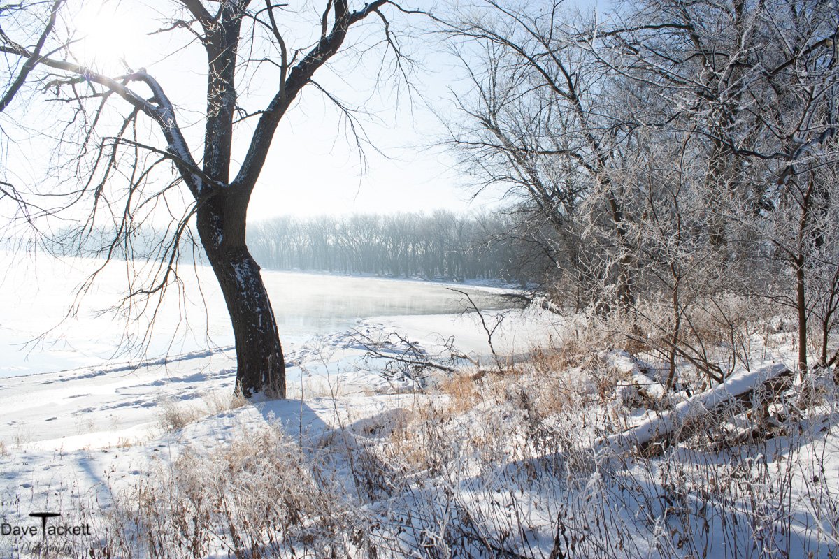
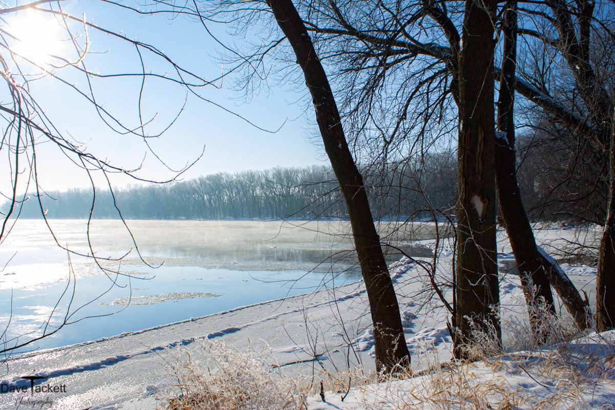
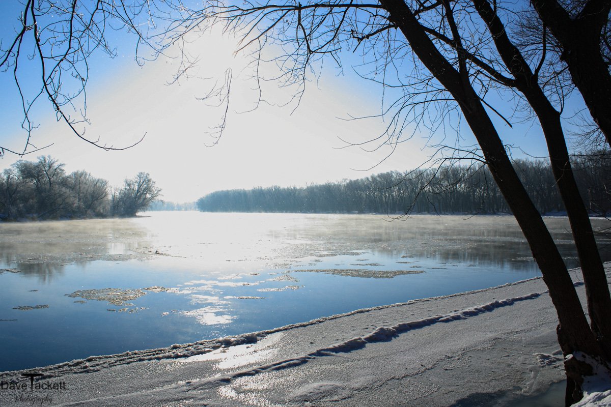
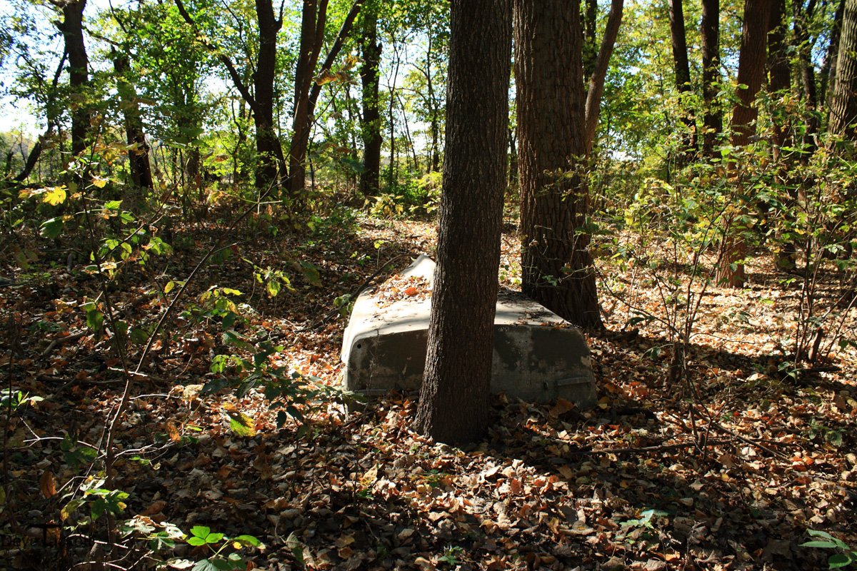
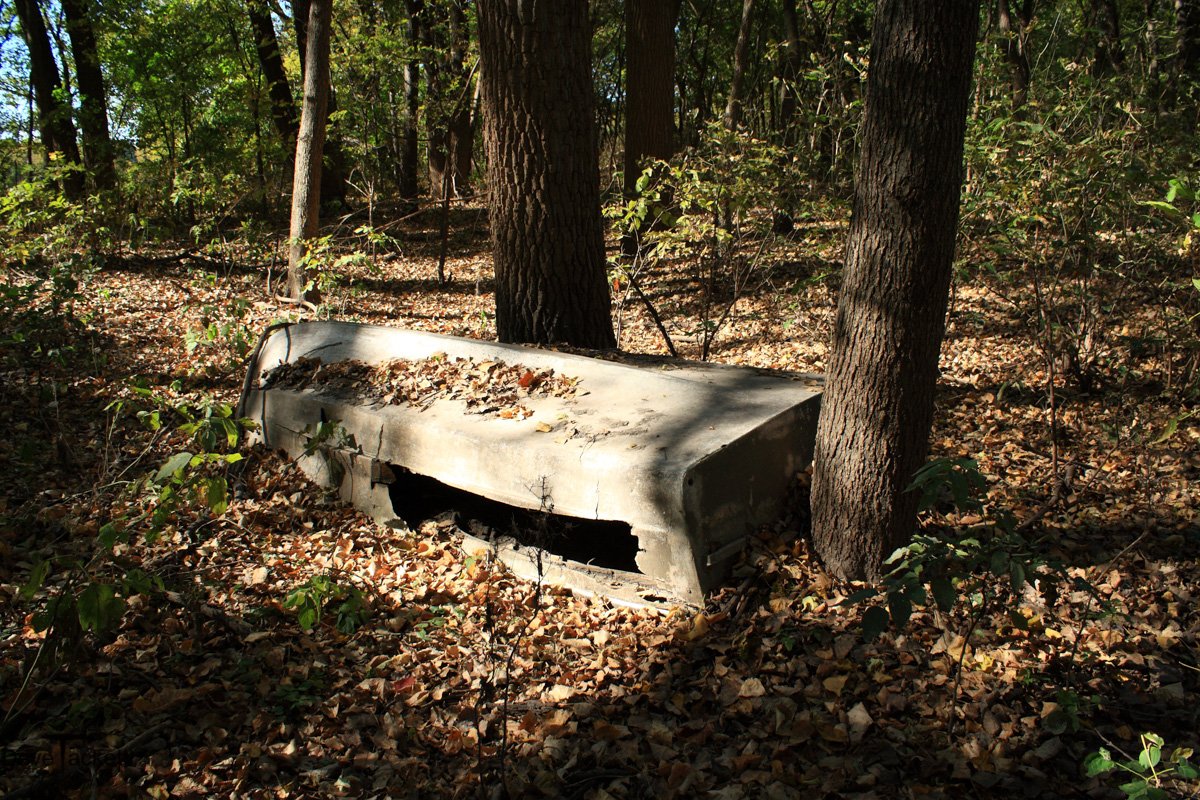
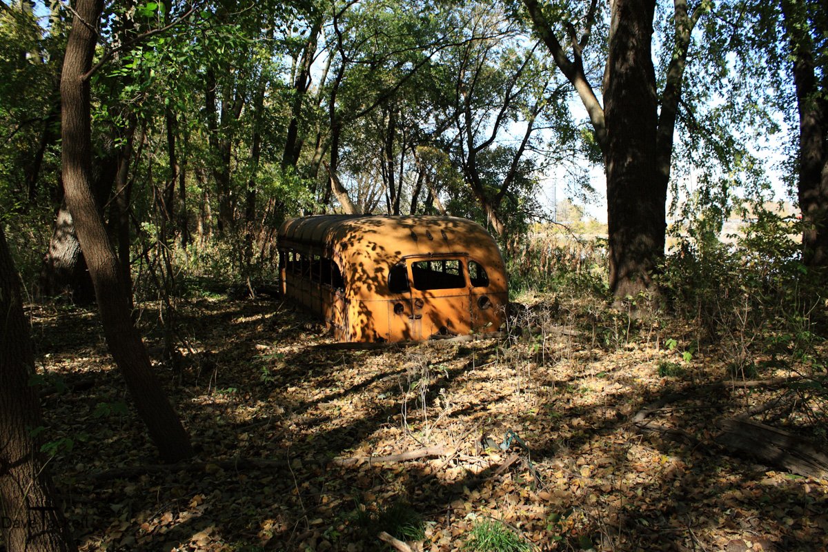
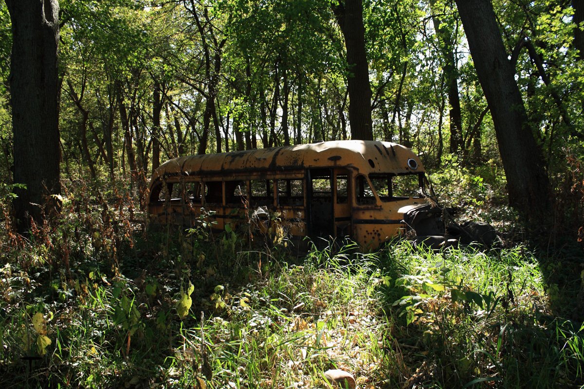
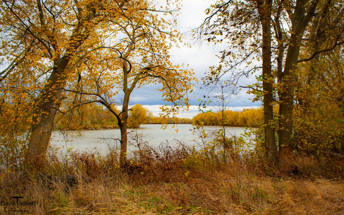
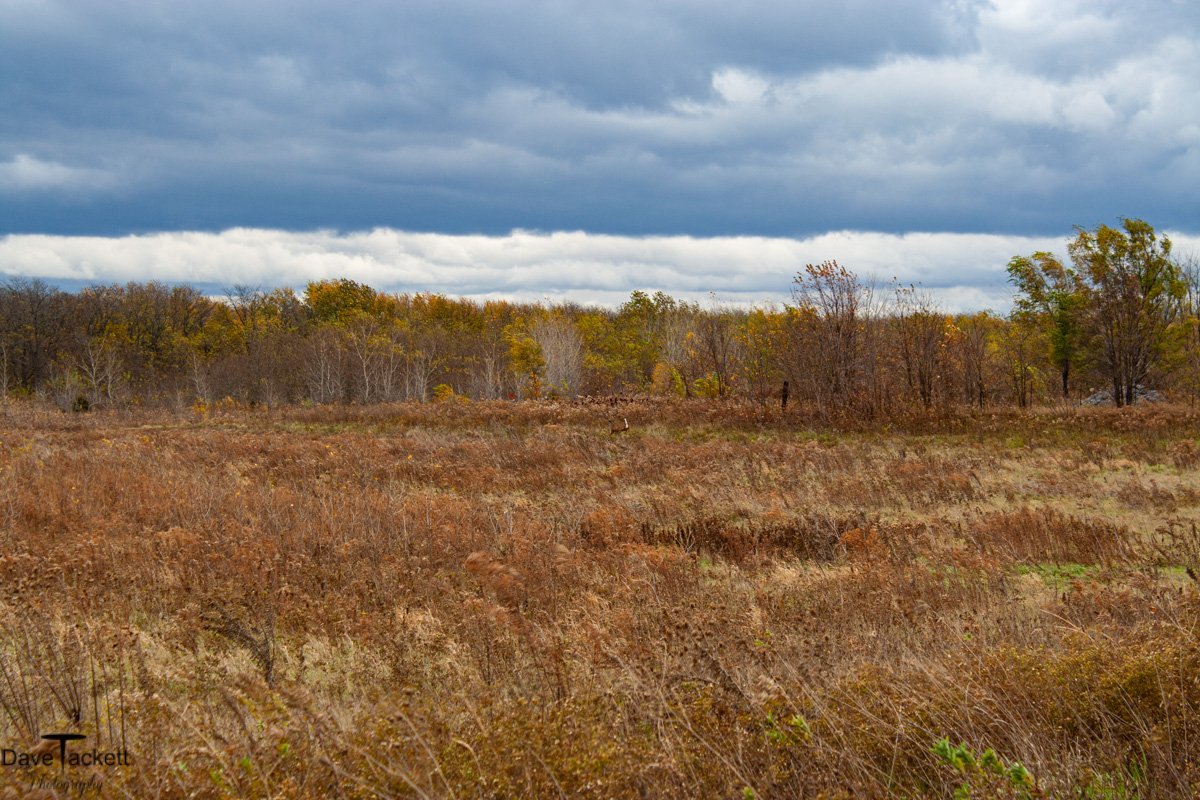
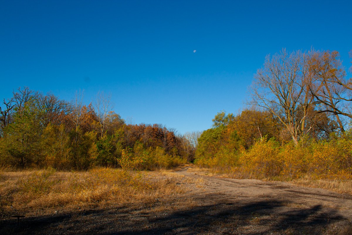
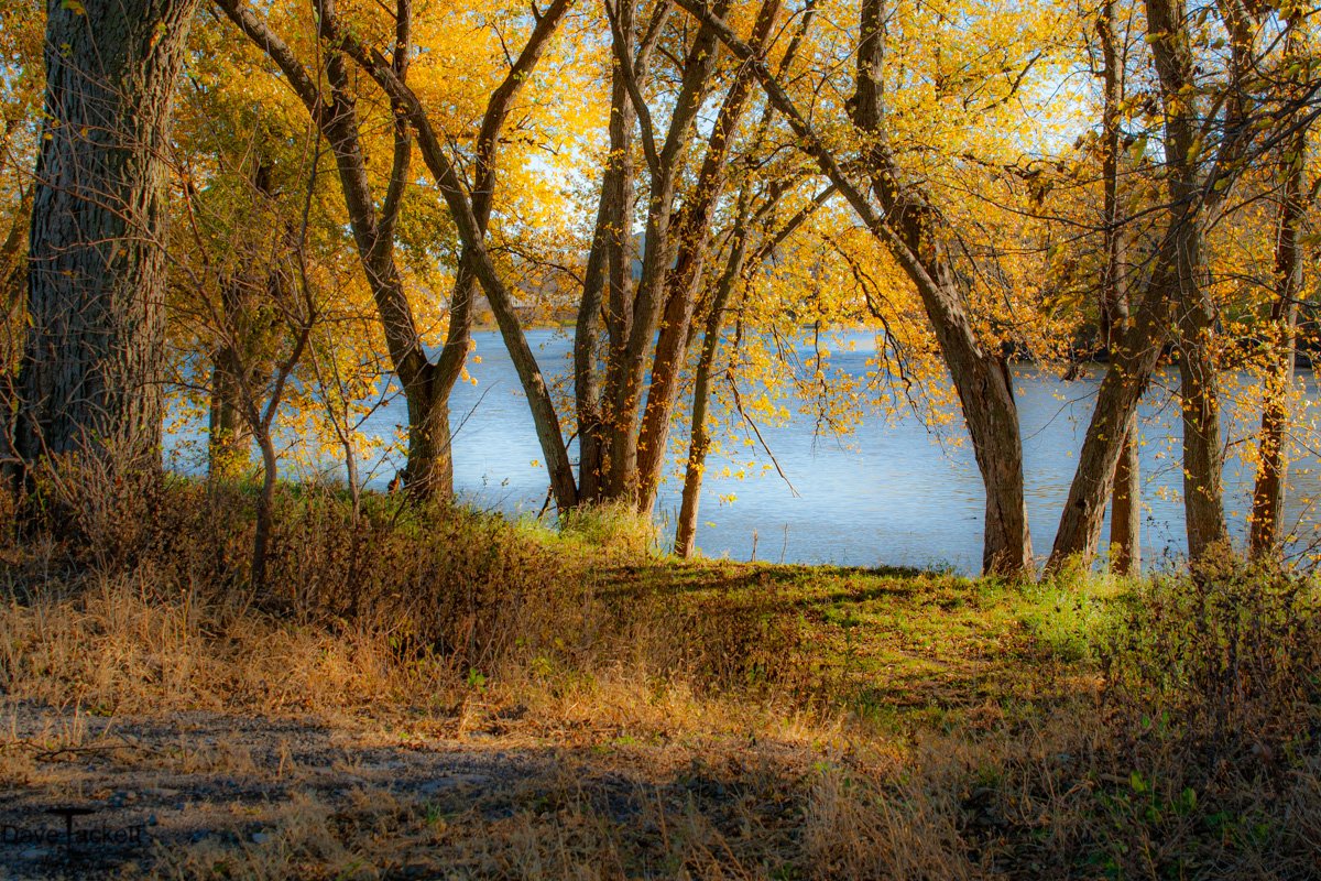
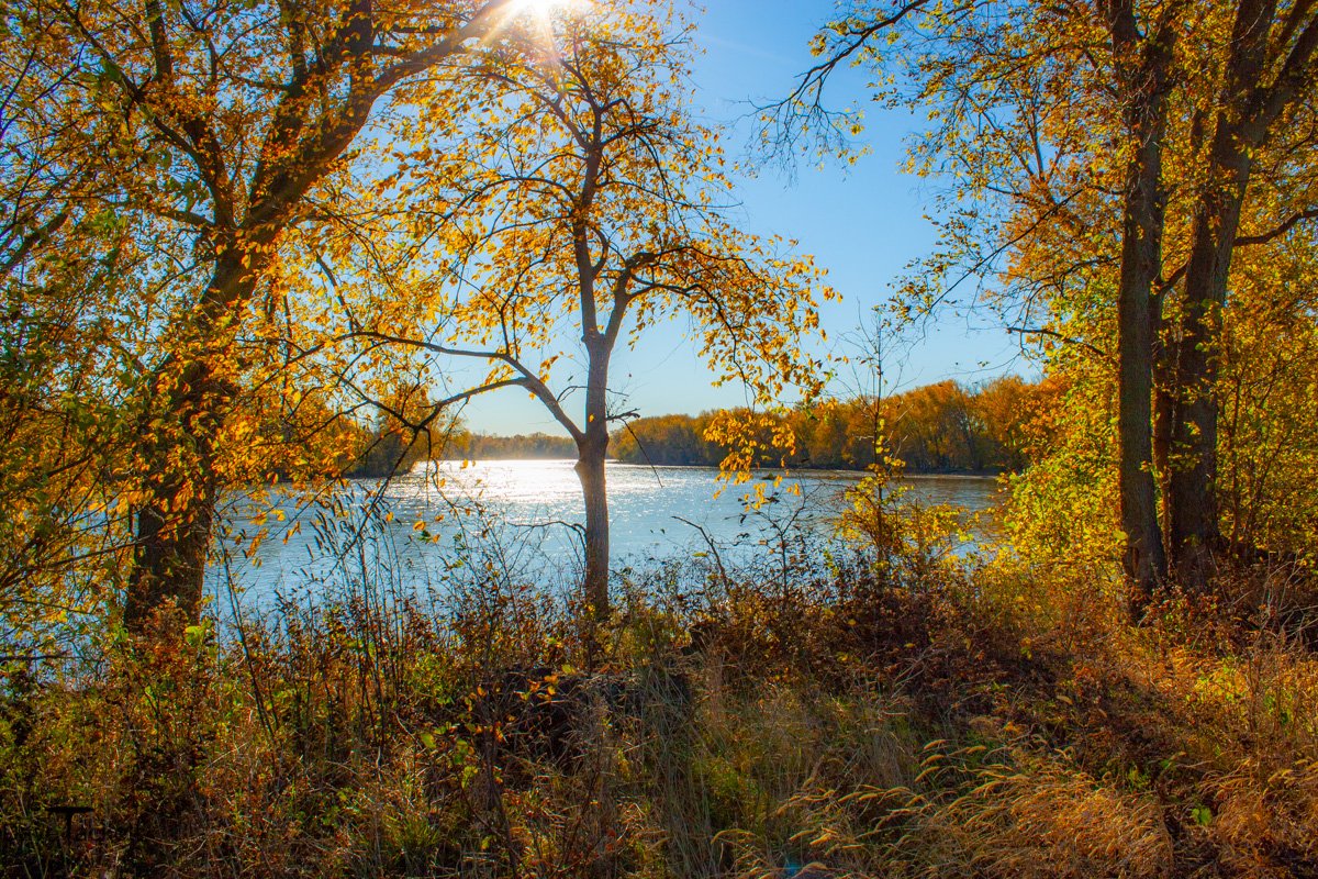
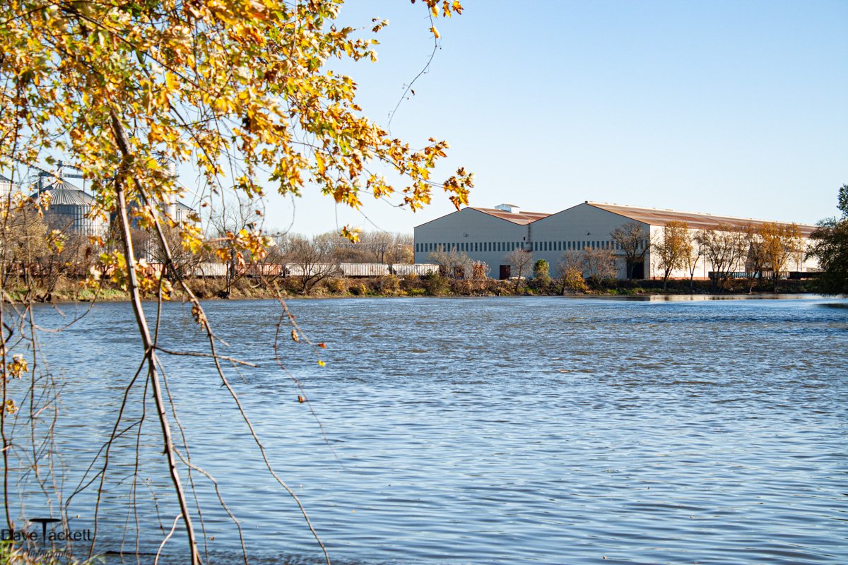
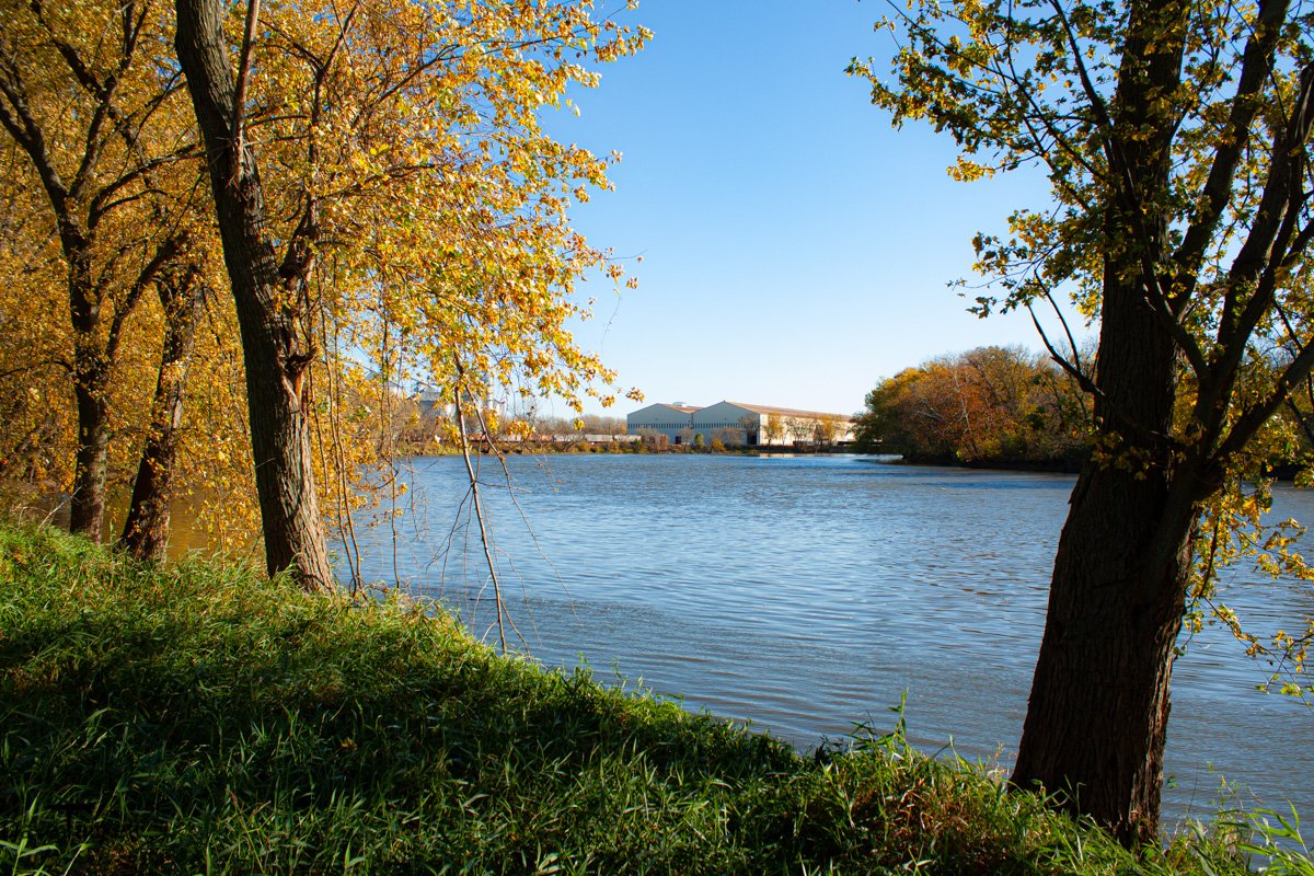
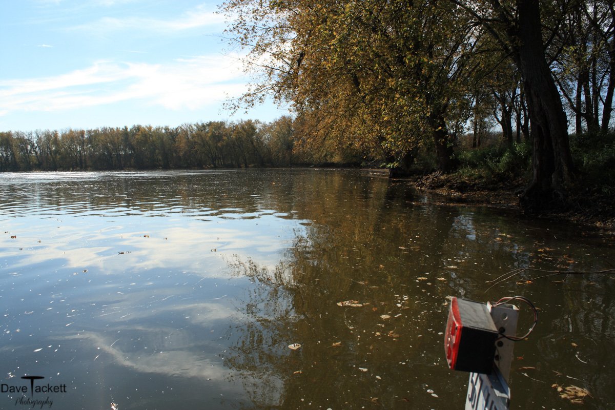
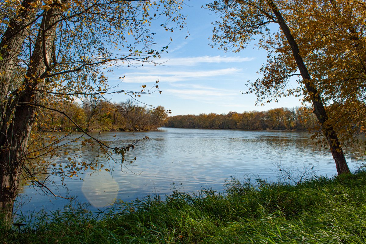
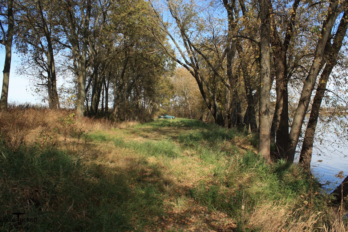
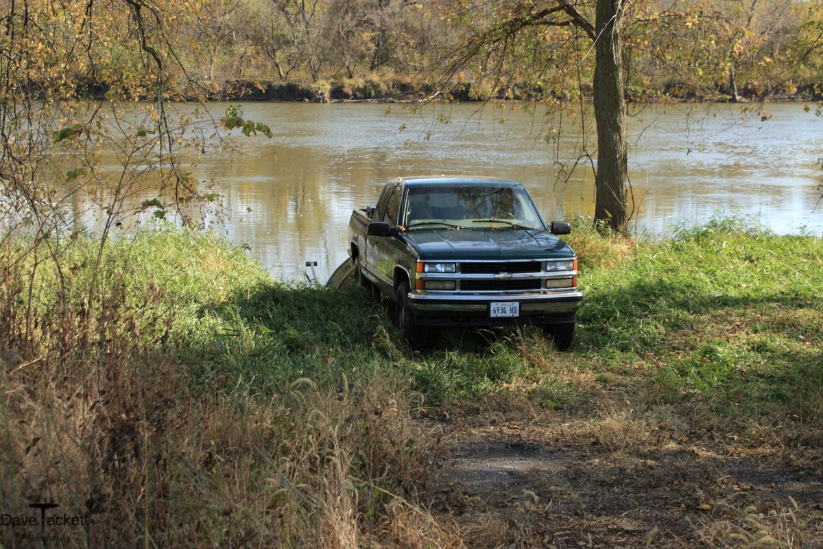
This 5 mile stretch of river, between the Ave G bridge and rt 30 bridge is unique, wildlife can swim across the river to other islands and lands to escape danger. Piece by piece all these lands have been sold. The sludge dump area was always quiet and safe place for wildlife. The land across from it was Reagon’s farm and hardly anyone used it. The other islands and lands all sold and are now over hunted, over trapped and there is hardly any wildife left.
The loggers showed up and I thought the last piece was lost, the big island, but to my surprise, the logging so far has actually improved things. It looks better, I can see in more and the wildlife tolerate them cutting just fine. Sure some deer and wildlife are displaced, but it’s only temporary.
So I will continue to drift for photos until I no longer see anything or if I get too old. If nothing else, there is always songbirds and they can’t be run out.
